 HoodRadar
neighbourhood · Toronto
Living in Centennial Scarborough
The neighbourhood report card
Overall grade : A
- ASafety6.9
- CBreak-ins1.9
- AGreen space178,801.0
- AParkland share14.4%
How these grades are computed
Grades from A to E, computed automatically from open data (police, city, census). Each criterion ranks this neighbourhood against the other neighbourhoods of the same city: A for the best-placed fifth, E for the lowest fifth. A relative position, not a verdict.
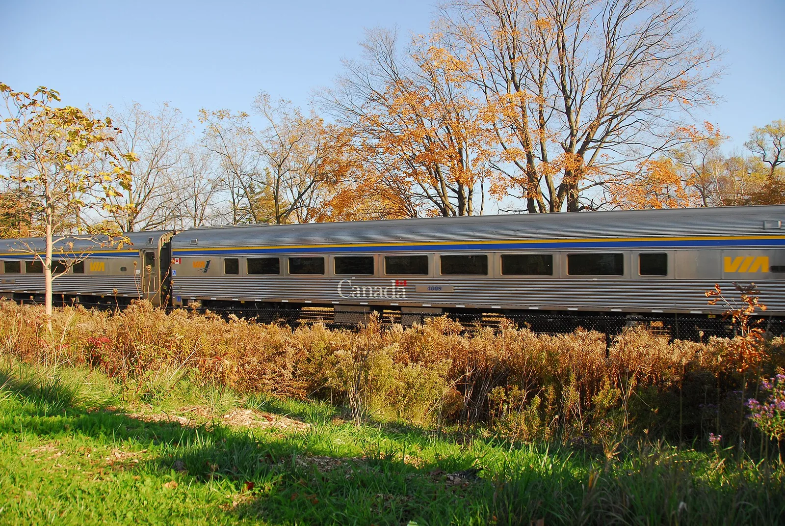
Centennial Scarborough posts a major crime rate of 6.9, below the city average, while break-ins sit close to the city average at 1.9. The neighbourhood's generous park coverage and mostly low-rise housing stock set it apart from much of the city.
Crime and break-ins
Police recorded 101 major crimes in Centennial Scarborough, down from 108 the year before, a change of -6.5%. That puts the neighbourhood's rate at 6.9, below the city average, and the trend is described as stable. Assaults account for the largest share of incidents, at 42.6% of the total, with assaults as the leading category.
Break-ins tell a different story. The neighbourhood logged 28 break-ins, for a rate of 1.9, which is close to the city average compared with the citywide rate of 1.9. Unlike the overall crime figure, the break-in trend here is rising, worth keeping in mind alongside the broader picture.
19 of 33: the lowest, the highest and Centennial Scarborough's neighbours.
Break-ins per 1,000 residents in 2025, all of Toronto : 1.9
Housing stock
Centennial Scarborough counts 4,420 occupied dwellings. Condominiums make up 4.1% of the stock, and renter households represent 7.9% of all households, well below the regional renter share of 48.1%.
Tall apartment buildings are essentially absent here, at 0.0% of dwellings, which points to a landscape dominated by houses and low-rise construction. Older dwellings built up to the early post-war years make up 6.6% of the stock, so most of what's standing today was built well after that period.
12 of 33: the lowest, the highest and Centennial Scarborough's neighbours.
Share of renter households, all of Toronto : 48.1%
Parks and outdoor life
Among the City of Toronto's municipal parks, Centennial Scarborough has 14, covering 14.4% of the neighbourhood's land, above the citywide park share of 12.5%. Park area per dwelling comes in above the city average, reflected in a ratio of 178,801.0 against the city's 69,239.0.
Lower Highland Creek is the largest of these parks. Families have 6 playgrounds to choose from, plus 11 outdoor sports fields and courts, and the area is served by 3 community centres.
14 of 33: the lowest, the highest and Centennial Scarborough's neighbours.
Share of land occupied by parks, all of Toronto : 12.5%
Rent context for the region
CMHC's regional survey of the Toronto area, not a figure specific to Centennial Scarborough, puts average rent for bachelor units at $1,491, smaller units at $1,761, family-sized units at $2,045, and the largest units at $2,294, all current as of the 2025 survey.
These figures describe the broader Toronto CMA rental market and are useful as a benchmark, but actual asking rents in Centennial Scarborough itself will depend on the specific unit and building.
Practical notes for newcomers
With break-ins close to the city average and trending rising, prospective renters and buyers in Centennial Scarborough may want to look into basic home security measures such as secure locks and visible deterrents. Renters should factor tenant insurance into their budget regardless of neighbourhood, since it covers belongings and liability that a landlord's policy typically does not.
Anyone planning to buy benefits from arranging mortgage pre-approval before house-hunting, which clarifies a realistic price range given current lending conditions. Given the low share of condominiums and renter households here, most transactions in this neighbourhood involve freehold houses rather than apartment units.
Frequently asked questions
Is Centennial Scarborough safe compared with the rest of Toronto?
Its major crime rate of 6.9 is below the city average, and the year-over-year trend is stable. Break-ins are close to the city average at a rate of 1.9, though that figure is currently rising.
What kind of housing will I find in Centennial Scarborough?
Most dwellings are low-rise, with tall apartment buildings at just 0.0% of the stock. Condominiums make up 4.1%, renters 7.9%, and older dwellings built up to the early post-war years account for 6.6%.
Are there parks and recreational facilities nearby?
Yes, the neighbourhood has 14 municipal parks covering 14.4% of its land, led by Lower Highland Creek. There are also 6 playgrounds, 11 outdoor sports fields and courts, and 3 community centres.
All the data
| Indicator | Value | Source |
|---|---|---|
| Kilometres of bike lanes, cycle tracks and trails | 4 | Cycling network |
| Break-ins in 2025 Period : 2025 | 28 | Neighbourhood crime rates |
| Break-ins compared with the city Period : 2025 | close to the city average | Neighbourhood crime rates |
| Break-ins per 1,000 residents Period : 2025 | 1.9 | Neighbourhood crime rates |
| Year-over-year break-in trend Period : 2025 | rising | Neighbourhood crime rates |
| Community centres | 3 | Parks and recreation facilities |
| Share of dwellings in condominiums Period : 2021 | 4.1% | Neighbourhood profiles, 2021 Census |
| Year-over-year change in major crimes Period : 2025 | -6.5% | Neighbourhood crime rates |
| Major crime rate compared with the city Period : 2025 | below the city average | Neighbourhood crime rates |
| Rank by major crime rate (1 = lowest) Period : 2025 | 7 | Neighbourhood crime rates |
| Major crimes per 1,000 residents Period : 2025 | 6.9 | Neighbourhood crime rates |
| Year-over-year major crime trend Period : 2025 | stable | Neighbourhood crime rates |
| Major crimes reported in 2025 Period : 2025 | 101 | Neighbourhood crime rates |
| Major crimes reported in 2024 Period : 2024 | 108 | Neighbourhood crime rates |
| Occupied dwellings (2021 Census) Period : 2021 | 4,420 | Neighbourhood profiles, 2021 Census |
| Park area per dwelling compared with the city | above the city average | Green spaces |
| Dwellings in buildings of five or more storeys Period : 2021 | 0.0% | Neighbourhood profiles, 2021 Census |
| Largest park in the neighbourhood | Lower Highland Creek | Green spaces |
| Parks | 14 | Green spaces |
| Share of land occupied by parks | 14.4% | Green spaces |
| Square metres of park per 1,000 dwellings | 178,801.0 | Green spaces |
| Children's playgrounds | 6 | Parks and recreation facilities |
| Population (2025, police estimate) Period : 2025 | 14,695 | Neighbourhood crime rates |
| Dwellings built in 1960 or earlier Period : 2021 | 6.6% | Neighbourhood profiles, 2021 Census |
| Share of renter households Period : 2021 | 7.9% | Neighbourhood profiles, 2021 Census |
| Outdoor sports fields and courts | 11 | Parks and recreation facilities |
| Most frequent category Period : 2025 | assaults | Neighbourhood crime rates |
| Share of the most frequent category Period : 2025 | 42.6% | Neighbourhood crime rates |
Regional context
| Indicator | Value | Source |
|---|---|---|
| Neighbourhoods covered | 158 | Toronto neighbourhoods (158) |
| Kilometres of bike lanes, cycle tracks and trails, all of Toronto | 661 | Cycling network |
| Break-ins per 1,000 residents in 2025, all of Toronto Period : 2025 | 1.9 | Neighbourhood crime rates |
| Major crimes per 1,000 residents in 2025, all of Toronto Period : 2025 | 13.2 | Neighbourhood crime rates |
| Share of land occupied by parks, all of Toronto | 12.5% | Green spaces |
| Square metres of park per 1,000 dwellings, all of Toronto | 69,239.0 | Green spaces |
| Share of renter households, all of Toronto Period : 2021 | 48.1% | Neighbourhood profiles, 2021 Census |
| Average rent, Toronto CMA: one bedroom Period : 2025 | $1,761 | Average rents (Rental Market Survey) |
| Average rent, Toronto CMA: two bedrooms Period : 2025 | $2,045 | Average rents (Rental Market Survey) |
| Average rent, Toronto CMA: three bedrooms or more Period : 2025 | $2,294 | Average rents (Rental Market Survey) |
| Average rent, Toronto CMA: bachelor Period : 2025 | $1,491 | Average rents (Rental Market Survey) |
| Rent survey year | 2025 | Average rents (Rental Market Survey) |
Comments
No comments yet.